

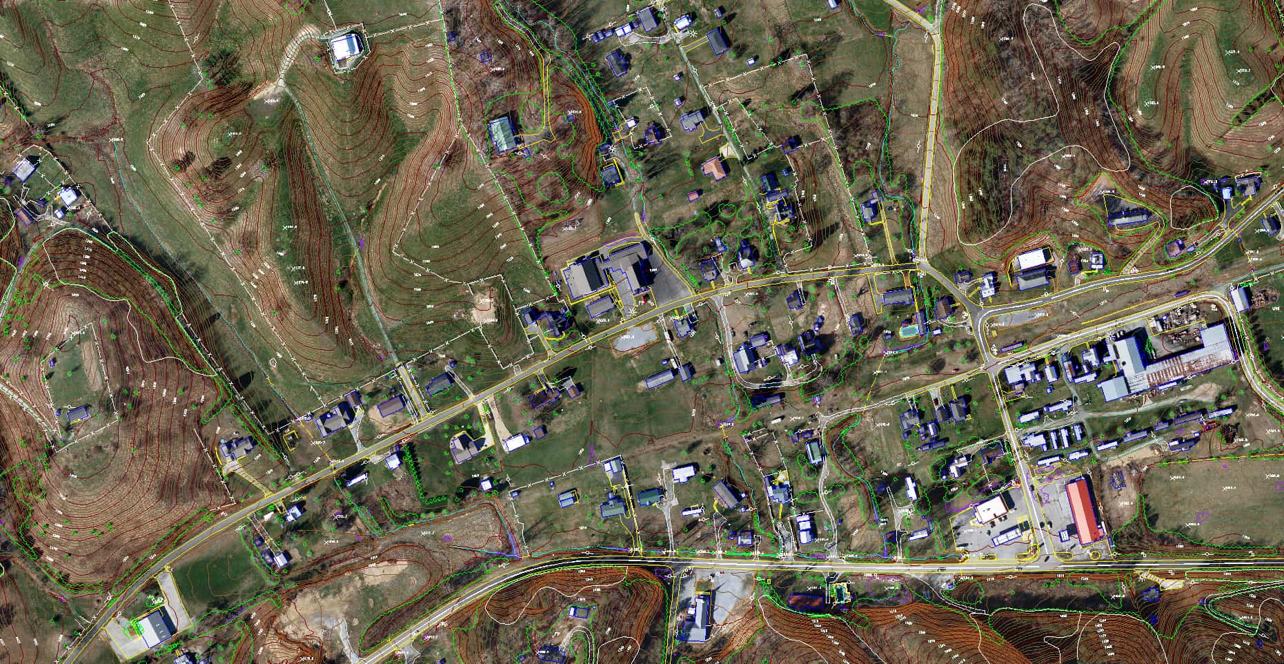
Digital Orthoimagery
Digital orthoimagery is imagery that shows objects in their true orthographic positions. Digital orthoimagery is therefore geometrically equivalent to conventional line and symbol planimetric maps. Because they are planimetrically correct, digital orthoimages can be used as maps for making direct measurements of distances, angles, positions, and areas without making corrections for image displacements.