

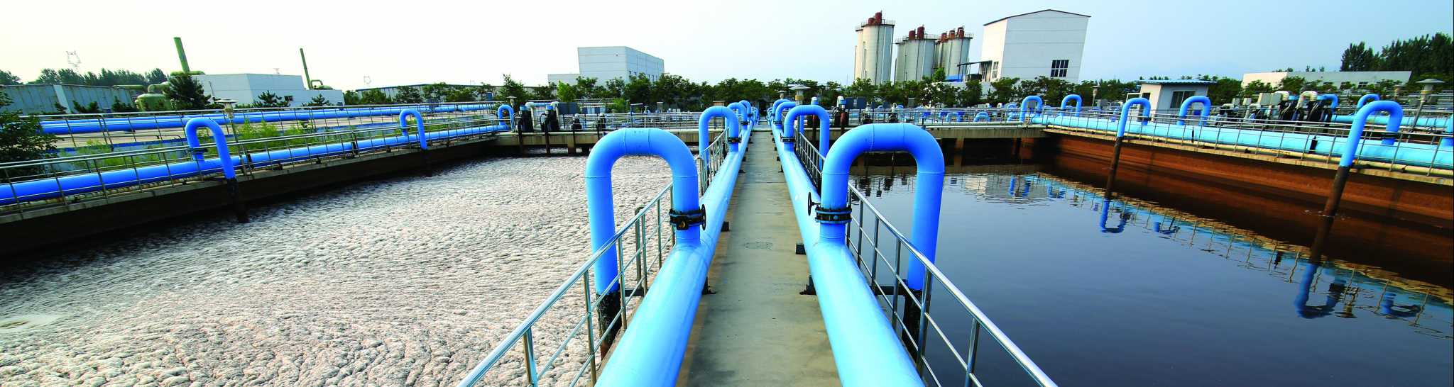
Water and Sewer Geospatial Data
The design of any sanitary sewer or water service project starts with detailed and highly accurate geospatial data.
Tuck Mapping Solutions Inc. has provided geospatial data for over 100 sanitary sewer and water service projects since 1985. We work closely with a wide range of civil engineering firms who utilize the geospatial data we provide for their planning and design operations.