

Category: Uncategorized
-
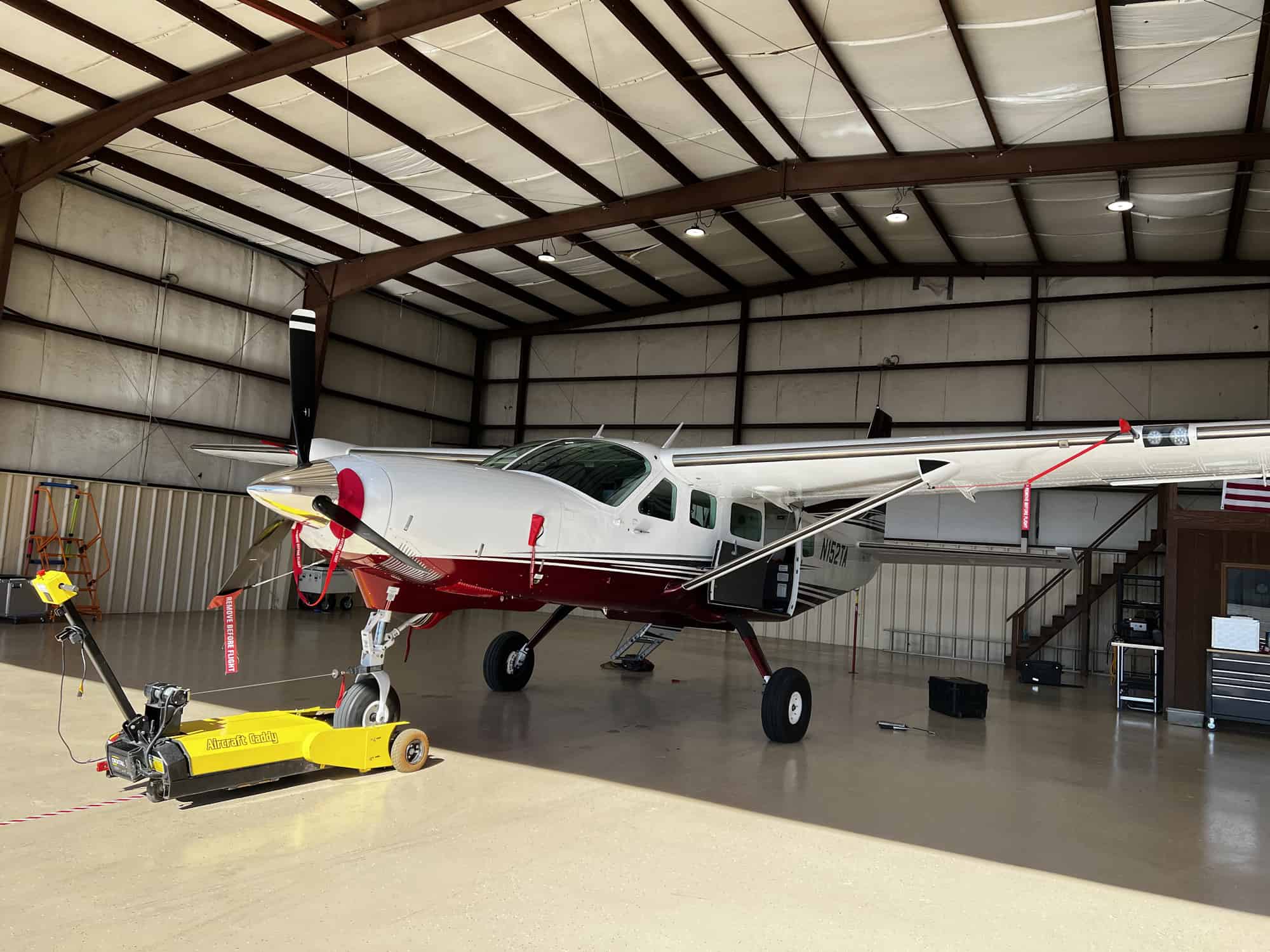
Tuck Mapping Adds Cessna Caravan to its Fleet of Aircraft
Tuck Mapping Solutions has been working with Riegl, USA for over twenty years. Tuck Mapping and Riegl worked together with Applanix to develop or mapping systems and to integrate digital cameras into these systems. Tuck Mapping has purchased six LiDAR systems from Riegl during this period of time. The development of the systems was a…
-
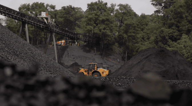
Appalachian Coalfields
-
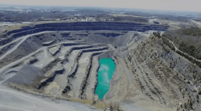
National Gypsum
National Gypsum is one of the largest gypsum wallboard producers in the world. Headquartered in Charlotte, NC, the company is the second largest producer in the United States of gypsum wallboard operating 17 wallboard plants in 16 states. National Gypsum operates 30 quarry sites that produce the gypsum that is necessary to manufacture gypsum wallboard. Tuck…
-
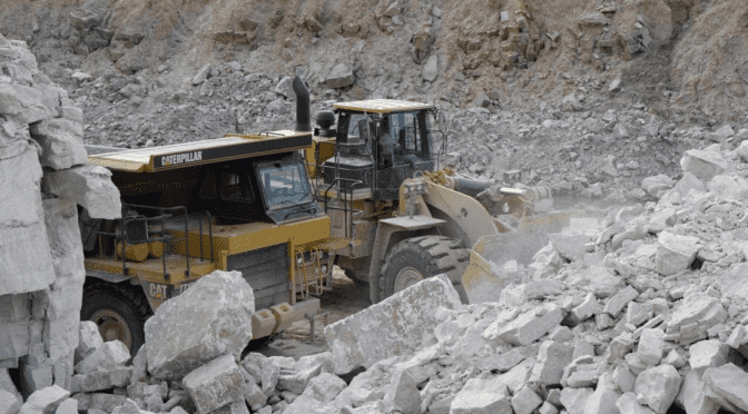
Vulcan Materials Company
Vulcan Materials Company is the nation’s largest producer of construction aggregates—primarily crushed stone, sand and gravel—and a major producer of aggregates-based construction materials, including asphalt and ready-mixed concrete. Vulcan has 375 active aggregates facilities and over 120 facilities that produce asphalt and/or concrete, which also consume aggregates. All of these are located in the U.S. except…
-
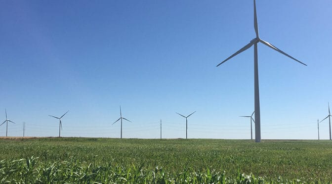
Balko Wind Farm
Balko is a 300 MW (approximate) wind farm located in Beaver County, Oklahoma. The project consists of 162 GE turbines. All of the green electricity generated at Balko is sold under long-term power purchase agreements with Public Service Company of Oklahoma and Western Farmers Electric Cooperative. Balko serves 111,000 homes. Tuck Mapping Solutions provided aerial…
-

Ivanpah Solar Energy Facility
The Ivanpah Solar Electric Generating System is a concentrated solar thermal plant in the Mojave Desert. It is located at the base of Clark Mountain in California, across the state line from Primm, Nevada. The plant has a gross capacity of 392 megawatts (MW). It deploys 173,500 heliostats, each with two mirrors focusing solar energy…
-

Hoopeston Wind Farm
The Hoopeston Wind Farm located in Hoopeston, IL is an 8,500 acre wind farm site that produces 98,000 kW of electrical power for 30,000 homes in Vermillion County, IL. Tuck Mapping Solutions provided aerial imagery, aerial LiDAR data, 1″ = 50′ planimetric mapping, and one foot contour interval topographic mapping for Timmons Group to support…
-
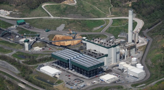
Virginia City Hybrid Energy Center
The Virginia City Hybrid Energy Center (VCHEC) is a $1.8 billion hybrid energy facility located in Wise County, Va. about 40 miles north of Bristol, Tenn. This facility burns a combination of coal and coal waste, plus up to 20% biomass (by energy input) each year, equivalent to about 1.08 million tons of wood (as-fired).…
-
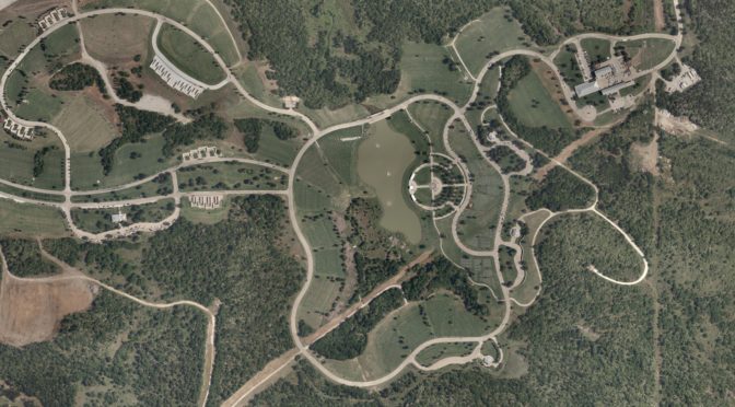
Dallas Veterans Cemetery
-
Sevier County, TN Wildfire
Tuck Mapping recently donated 3 inch orthophotography to Sevier County to aid in the relief efforts after the wildfires from November 2016 burned over 17,000 acres in less than five days. On Wednesday, November 23, 2016, the acre-and-a-half blaze began near the top of a steep hill called Chimney Tops outside of Gatlinburg, TN. It…