


Precise, Accurate, High-Fidelity Mapping Solutions
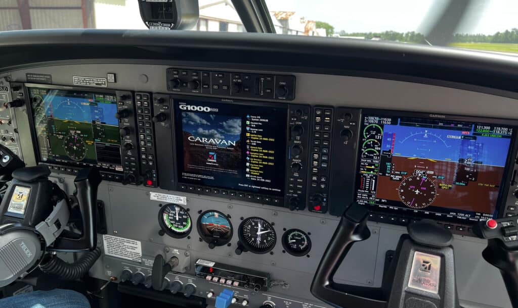
We use only the best, state of the art equipment to capture the highest quality aerial imagery for your project needs.
A Recognized Leader in the Aerial Mapping Industry
Tuck provides surveying and mapping solutions to clients with an emphasis on aerial applications. Tuck’s staff of trained professionals have completed more than 25,000 projects delivering services such as digital and conventional aerial photography, orthophotography, volumetric calculations, conventional and GPS surveys, cross-section surveys, aerial triangulation, digital elevation models, and LiDAR acquisition and processing.

Aerial Imagery
Vertical Imagery, Low Oblique Imagery, High Oblique Imagery and Digital orthoimagery.
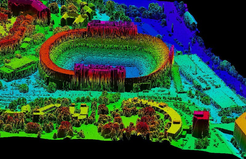
Aerial LiDAR
Bare Earth LAS files, LiDAR Data Classification, Contour Generation, Volumetric Surveys and more.
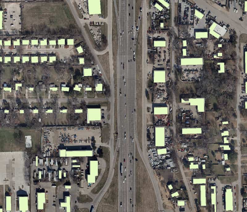
GIS Mapping
Capture, store, manipulate, analyze, manage, and present all types of geographical data