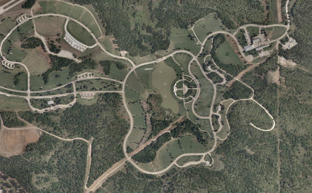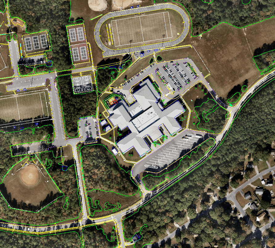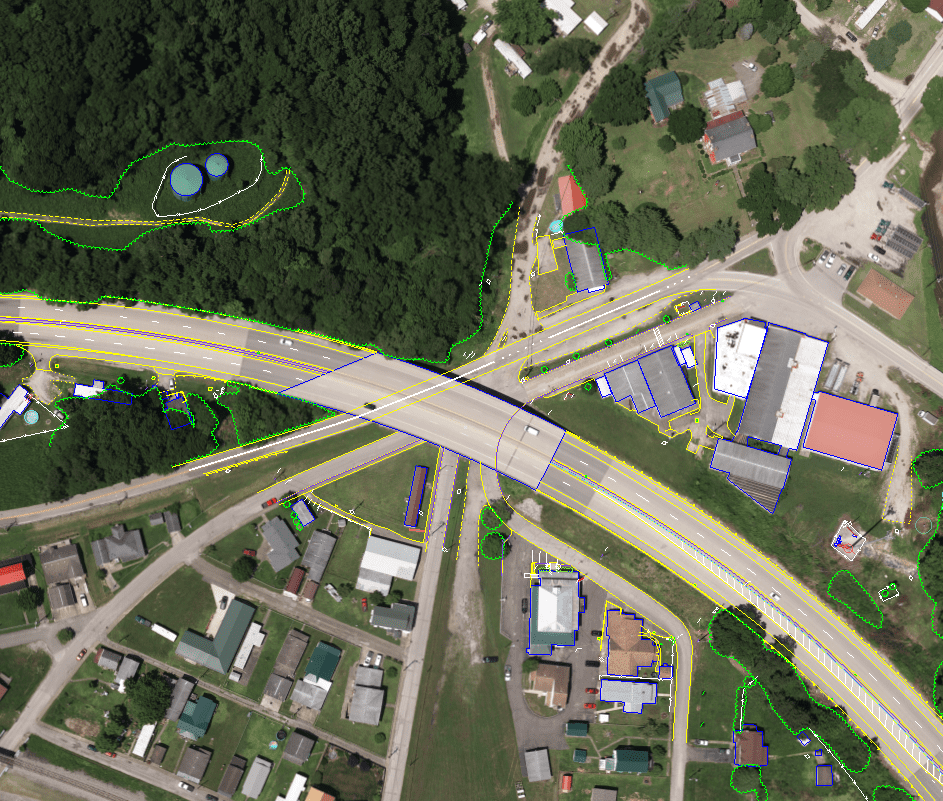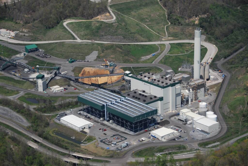


Aerial Imagery
High quality aerial imagery is the basis for precise photogrammetric mapping. Here at Tuck Mapping Solutions we utilize state of the art digital aerial cameras to acquire the highest quality aerial imagery possible. Once the imagery is acquired, our experienced team of photogrammetrists produce highly accurate planimetric and topographical maps for a wide variety of clients and applications.
Tuck Mapping Solutions can provide the following types of aerial imagery:
- Vertical Imagery: imagery taken from an aircraft with the optical axis of the camera vertical or as nearly vertical as possible.
- Low Oblique Imagery: imagery taken with the camera axis intentionally inclined at an angle with the vertical that does not show the horizon.
- High Oblique Imagery: imagery taken with the camera axis intentionally inclined at an angle with the vertical that does show the horizon.
- Digital Orthoimagery: imagery that is rectified to correct for relief displacement.