

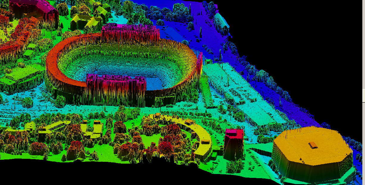
Aerial LiDAR
LiDAR (Light Detection and Ranging) is a system that uses light in the form of a pulsed laser to measure ranges (variable distances) to the Earth. These light pulses—combined with other data recorded by the airborne system— generate precise, 3D information about the shape of the Earth and its surface characteristics.
Tuck Mapping Solutions utilizes state of the art aerial LiDAR sensors to acquire highly accurate data that supports a wide range of applications.
Tuck Aerial LiDAR Services
- Bare Earth LAS files
- LiDAR Data Classification
- Contour Generation
- Volumetric Surveys
- Vegetation Analysis
- Highway Corridor Studies
- Powerline Surveys
- Floodplain Mapping
- Airport Obstruction Surveys
- Transportation Engineering & Design
- Land Use Mapping
- Digital Terrain Models