

Tuck Mapping Solutions has been working with Riegl, USA for over twenty years. Tuck Mapping and Riegl worked together with Applanix to develop or mapping systems and to integrate digital cameras into these systems. Tuck Mapping has purchased six LiDAR systems from Riegl during this period of time. The development of the systems was a collaborative effort of the staffs of both companies. The Tuck staff actually was trained on the used of the RiProcess in Horn, Austria when Tuck acquired the first full waveform scanner, VQ560 in 2003?? This spirit of cooperation has continued in the development of multiple systems used by Tuck Mapping. We have developed new systems as the marketplace has demanded over the years. The systems were first designed for our helicopter fleets that required sensors in a very confined space and the managed of the vibration that is inherent in the rotor wing systems. Once we had managed the helicopters systems, the integration into the fixed wings were completed. All of these system were designed with the ultimate goal of having all of the data required by our clients be collected in a single pass with a single source of geo-position coordinates. Our processing provided the dual acquisition of data with offsets between the sensors and the IMU. We have learned a lot about how the geo-reference data from multiple systems. We have utilized up to three systems simultaneously on many of our data collection missions. The post processing for the single IMU was completed and the final coordinates were applied to the different sensors that were on a single plate in the helicopter.
One of the areas of concern was the electrical sources for each of the sensors had to be of adequate power, but not overpowered to the point that the components could be destroyed in case of a short. We evaluated all of the power consumptions of each component of our multi-sensor racks and we provided adequate power so that if there was a short, the breakers would trip before any damage was done to the sensor.
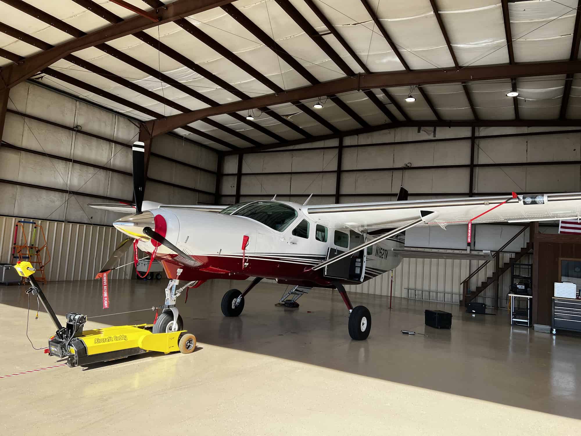
“We’re experiencing growing demand from other small businesses that want us to provide high-density LiDAR and high-resolution imagery, so doubling our capacity with a second Falcon Mark 2 made sense,” said Robert “Bobby” Tuck, president of Tuck Mapping. “The large footprint and excellent image quality over large areas gives us a competitive advantage, and the new airplane opens up even more opportunities with 6-7 hours of flight time at up to 25,000 feet altitude.”
“In addition to the exceptional camera performance, the level of service Vexcel provides is far superior to any other company in the marketplace,” said Tuck. “In our experience, Vexcel will do whatever it takes to keep our company operational, which in turn makes us a more reliable partner.”